


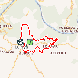

12 km | 19 km-effort

User


FREE GPS app for hiking
 SityTrail
IGN / Geographical institutes
SityTrail World
The world is yours!
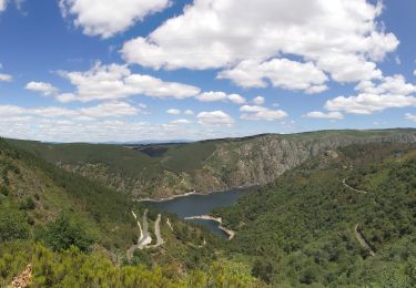
Trail Walking of 16.7 km to be discovered at Galicia, Ourense, Nogueira de Ramuín. This trail is proposed by PhilippeC54.
Balisage blanc-jaune


On foot